Sunday 18 September 2016

Day 148 - CANADA!!! The End...

Mile 2643.7 to USA/Canada Border - 6.4 miles. Distance from Mexico 2650.1 miles.

It's done. At 9.15 am on Friday 16th September 2016 - US time - I reached the USA/Canada border. From a factual perspective it was a brief jog down from our camp via Hopkins Pass & Castle Pass where we briefly joined the Pacific Northwest Trail. From an emotional perspective it was an unusual experience. I'd never actually thought about the finish as my mantra had always been to tackle one section at a time & never consider the bigger picture as it would do my head in. However since crossing into Washington I've known I should get there provided the weather behaved. So where there might have been ecstatic euphoria I felt a touch sad. My life as I've known it for 5 months was about to end. All those people that had become part of the trail family would become strangers again (something I will try & not let happen).
But I won't euologise or use this entry as an epiphany, epistle or even an epitaph.
Tiptoe & I shared a couple of swigs of the red wine box we had carried since Stehekin. The whisky we brought in Snoqualmie would have been better on a cold morning but we'd already polished that off on the frigid nights earlier. The coolest part of our time at the border monument was having Muffin & Pacer turn up unexpectedly so it was photos all around

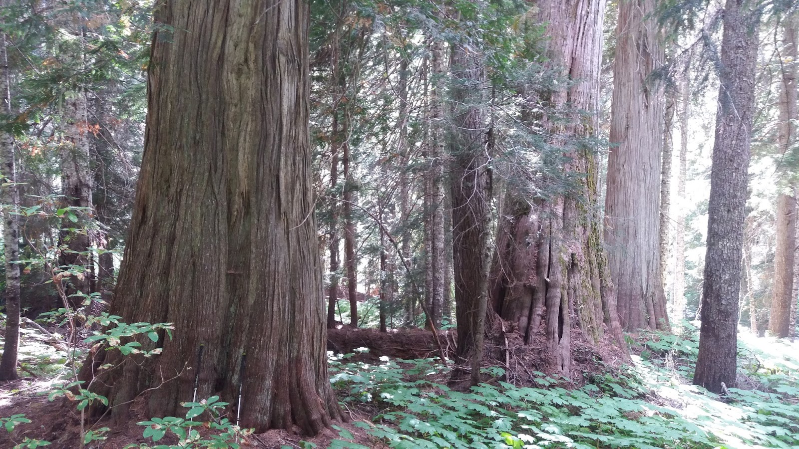
The border is quite defined in the photo below as I dropped down in the last 100 yards
We eventually dragged ourselves away from the monument for the 8.8 mile walk to Manning Park where I enjoyed a shower etc
So what now?? I've finished 1 to 2 weeks earlier than original guesstimates so I've got some time to fill before leaving LA next month. While I would love to get back to loved ones, family & friends I know I'd kick myself if I didn't take advantage of the time here. So it's on the ferry tomorrow to Port Angeles to have a look around the Olympic Mountains.
I'll say goodbye to Pacer tomorrow after Tiptoe & Muffin left earlier (although I've issued open invitations to these & many other hiker colleagues to visit our wonderful country). Thank you so much for the messages of support through this blog & emails - it was tremendously important to me. Have I learned anything?? Time will tell on that one but I have a list in my head of things that I will focus on. The trail put me out of my comfort zone but with persistence, patience & the right amount of planning (not too much) anything is possible. Luck also played a huge part.
A book?? I'll give it some thought but I'm not sure what interest there would be as my story is not unique.
I am looking forward to getting back home & touching base with many of you. I'd better find a way of generating an income as well!!!
I said I wouldn't eulogise so will stop there. A terrific adventure in a magical part of the world. I've been a lucky man.....and it's been a privilege that I won't forget. Until I see you in person....Kia kaha....Weta


Day 147 - The End Is Nigh

Harts Pass to Mile 2643.7 - 24.2 miles

The end certainly is nigh with the Canadian border a mere 6.4 miles away. That means Tiptoe & I should hit the border sometime after 9.00 am tomorrow morning. That's not the end of the walking though as the crossing is in the middle of nowhere & we need to hike 8.8 miles to get to Manning Park Lodge. I've chosen to go in to Canada rather than return along the trail to Harts Pass. We met 6 or so hikers doing the return trip today.
We made good progress today on sporting terrain with a few hearty clubs. We are now in the Pasayten Wilderness with the trail going up, down & across a number of passes - Buffalo, Windy, Foggy, Jim, Holman, Rock & Woody. On the climb out of Harts Pass a snowy peak came in to view out west - Mt Baker I presume which is apparently visible from Vancouver
Further along we could see our big climb up to Rock Pass - just to the right of Powder Mountain
We encountered a mule train on the climb up to Rock Pass that had dropped off some trail workers & their gear
As the train headed back down the trail it had Shull Mountain as a spectacular backdrop
At Rock Pass we could see the trail ahead across to the "v" of Woody Pass
Our last climb up to 7200 feet at Lakeview Ridge gave us a great view looking backwards as the trail avoided Three Fools Peak
Looking north - somewhere up there is Canada!! And it is literally all downhill to Canada
We dropped quickly down to 6200 feet and our last night on trail at Hopkins Lake
The seemingly impossible become a reality tomorrow... .Weta

Day 146 - I Can Smell Maple Syrup...

Mile 2598.4 to Harts Pass - 21.1 miles

Canada looms.....31 miles away with the sign saying it all
The day was about the drop from Methow Pass at 6500 feet to 4300 feet. Then it was a climb back up to 7000 feet through Glacier Pass and up on to an exposed ridge. On the drop down from Methow Pass the sheer walls of Mt Hardy loomed large
The climb back up had us pounding up switchbacks which you can see in the foreground with Azurite Peak opposite
On the other side of the ridge you can see the trail ahead towards Tatie Peak on the right
Harts Pass eventually appeared to the north with the unpaved through road being the last one before Canada. The area was busy as hunting season was opening
We pass under Slate Peak to the left in the morning before heading north towards Canada. Oh....and we went through the 2600 mile marker today. It all seems non-sensical with these big numbers but we've done then!!
Tiptoe & I haven't seen a PCT hiker for two days now. There is the bubble ahead of us that streamed out of Stehekin while those following have not made up any miles on us......Weta

Day 145 - Climbing Our Way To Canada

Mile 2574.3 to Mile 2598.4 - 24.1 miles

Two days ago we lost a lot of elevation after dropping from Suiattle Pass. In typical PCT fashion we gained all that back again today. On the morning we climbed steadily to gain 2700 feet to 4882 feet at Rainy Pass (the weather luckily not living up to the name). This area is particularly remote so the North Cascades Highway 20 is the first through road we've had since way back at Stevens Pass

In the afternoon it was a further 2100 feet of climbing to 7000 feet before dropping back to our campsite at 6242 feet. The view from Cutthroat Pass (with the trail ahead) reminded us of the Southern Californian mountains
 Around the corner and it was even starker
Before the drop to Granite Pass we could see ahead to Tower Mountain which we skirted along on this side
Further on, Mt Hardy loomed with Methow Pass & 2600 mile marker in the morning. We've camped with a large High School group of "boisterous" 13 year olds.....interesting :-).
51 miles to the border......Weta

Day 144 - The Last Resupply - Stehekin

Mile 2564.3 to Mile 2574.3 - 10 miles

Today was about getting in & out of Stehekin for our last resupply & chance to shower, launder etc. Stehekin sits on the shore of the divine Lake Chelan and is very unusual in that there is no external road access. So you can only get there by taking a ferry across the lake, float plane, helicopter or walk. But what a setting- simply breathtaking


Hiker activity is centred around the lodge and post office
We also needed to visit the local Information Centre for our camping permits for North Cascades National Park. The short 5 mile walk in the morning saw us join a number of other hikers waiting for the 9.00 am shuttle service
The bus itself was a cool retro design with a glass roof & probably not as costly as the Napier City Council effort at an art deco bus :-)
We stopped at a bridge over the Stehekin River where we could see salmon spawning down below
After getting our chores done we were back on the bus for the 11 miles back to the trail & a short 5 mile section. We were delighted to catch up with Pacer & Muffin at the bus stop as they had got a day behind us getting out of Snoqualmie Pass
The walk up saw us spook a bear about 20 feet off the trail. This is bear no. 4 for me. It's leisurely stroll away suggested using the bear box at the campground tonight might be a good idea. 
So now we are camped 76 miles from the Canadian border.........Weta

Day 143 - Washington Weather Bites Back

Mile 2541.9 to Mile 2564.3 - 22.4 miles

Just when we thought we'd be blessed with sunny weather all the way to Canada, Washington bites you. Tiptoe & I were about 2/3 up the 3250 foot climb to Suiattle Pass when the rain started. Tiptoe was further up than me & actually got snowed upon!! And man....was it cold!! After ensuring the conditions for an hour it began to ease & eventually we ended up with a clear sunny day - thankfully.
Near the top of Suiattle Pass we could see the mountains to the right
The weather behind us looked grim but I was certain it was what we had already had
As we hit the top of the Pass things looked much better as we started the drop to Agnes Creek Valley. In the distance the Northern Cascades loomed
The fall in elevation of 4000 feet made the afternoon tolerable. We were constantly overshadowed by these towering bluffs
On the valley floor it was noticeable that the trees were much larger. My guess is less harsh conditions & more sun, rain with avoidance of avalanches, rock slides, fire etc. This gives them the chance to grow up to be big boys & girls
We are 5.1 miles from High Bridge where we will catch a shuttle to Stehekin for our food resupply, shower, laundry, bakery sampling etc. We then hope to be back on trail mid afternoon for the final push with a Friday morning walk across the border. 86 miles to go.....Weta

Day 142 - Glacier Peak Wilderness - Ridge Climbing

Mile 2518.3 to Mile 2541.9 - 23.6 miles

I've said it before - you have to work hard for the rewards on the PCT & this day was no diffetent. After dropping from our overnight camp we immediately climbed 3000 feet over about 5 miles & 50 odd switchbacks to get to the top of Vista Ridge. We'd had a perfect start though with this picture perfect sunrise
On the drop down you could see the switchbacks on the opposite ridge ahead
As we climbed we got some good views of the Ptmarigan Glacier on Glacier Peak

The further we gained height the better the views of Glacier Peak from the north west & the north

At the top you could see ahead to the trail before it dropped again - this time 3500 feet.

Before the drop I sat down in the grass & tried to work out where the trail was going to take us next. I as able to make out our camp for the night at Miners Creek at the bottom of the valley. I also have it my best guess that Suiattle Pass was to the left of the big mountain in the 2nd photo

Dropping down off the ridge I had the misfortune of standing on a ground nest of hornets. Getting up and around a blowdown I suddenly wondered what was stinging my legs. Once I clicked, I took off like a startled rabbit. 5 stings on the back of my left leg & 2 on my right leg was my souvenir but I'm guessing it could've been way worse.
On the haul to the campsite we crossed the impressive kinked bridge over the milky glacial Suiattle River (Suiattle/Seattle - not sure of the connection)


A big climb again first thing in the morning of over 3250 feet to Suiattle Pass. 108 miles to the border......Weta